Use High-Resolution Aerial Data to Improve Outcomes in Farming, Resource Management, and Scientific Research
Whether you're managing a farm, delivering agricultural or conservation initiatives, advising producers, or advancing agricultural science, you need reliable data to support strategic action. At Terralynx, we help farmers, agribusinesses, government agencies, and researchers gain the insights needed to guide practices, policies, investments, and innovation through precise aerial intelligence.
What You Can Accomplish with Terralynx
-

Track Agricultural Health & Performance:
Monitor nutrient uptake, disease stress, and crop health to support agronomic decisions, public programs, and field trials.
-

Shape Environmental and Land-Use Policy:
Access current data on land cover, drainage, water use, and soil health to inform assessments and planning.
-

Measure the Impact of Your Initiatives:
Evaluate the success of conservation practices, precision ag strategies, or rural development programs using repeatable, high-resolution aerial data.
-

Forecast Yields & Understand Risk:
Use AI-powered analysis to model crop outcomes and production risk across parcels, regions, or growing seasons.
-

Support Scientific Research & Innovation:
Generate reliable, high-frequency data to validate experiments, model systems, and advance agricultural innovation.
-

Integrate with Your Existing Tools:
Our data works seamlessly with platforms like John Deere Operations Center, Climate FieldView, Ag Leader, and more.
Real Results from the Field
Smart Nitrogen Management in Wheat
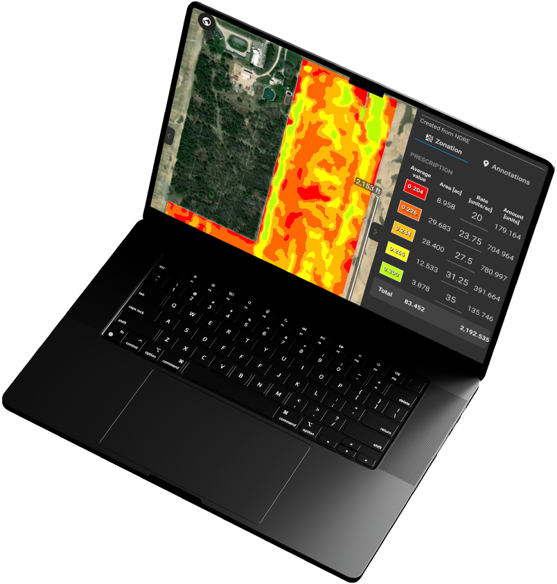
An agribusiness leveraged our multispectral imagery and zone-based analysis to apply nitrogen variably across multiple, 100+ acre wheat fields. This resulted in:
Reduced input costs by 10%
Higher yields in optimal areas
Minimized environmental impact
Corn Population Insights for Hybrid Evaluation
A seed company collaborated with Terralynx to evaluate emergence and plant density using AI image analysis across 15 corn hybrids. With 35,000 seeds planted per hybrid, emergence rates ranged from 87.6% to 93%, with detailed block-by-block density insights. The analysis enabled them to:
Identify top-performing varieties based on both yield and emergence consistency, with yield differences of up to 18% between the lowest and highest performing hybrids
Adjust hybrid recommendations and seeding strategies for future seasons based on quantifiable performance data
Generate visual and statistical reports that enhanced internal research, grower communication, and seed positioning strategies
Start Your Next Project with the Right Data
Founded in 2017 to help farmers improve crop management, Terralynx has since become a trusted partner for across industries. Based in Ontario, Canada, our teamʼs expertise spans many backgrounds, including agriculture, aerospace, and technology (hardware and software).


