About Us
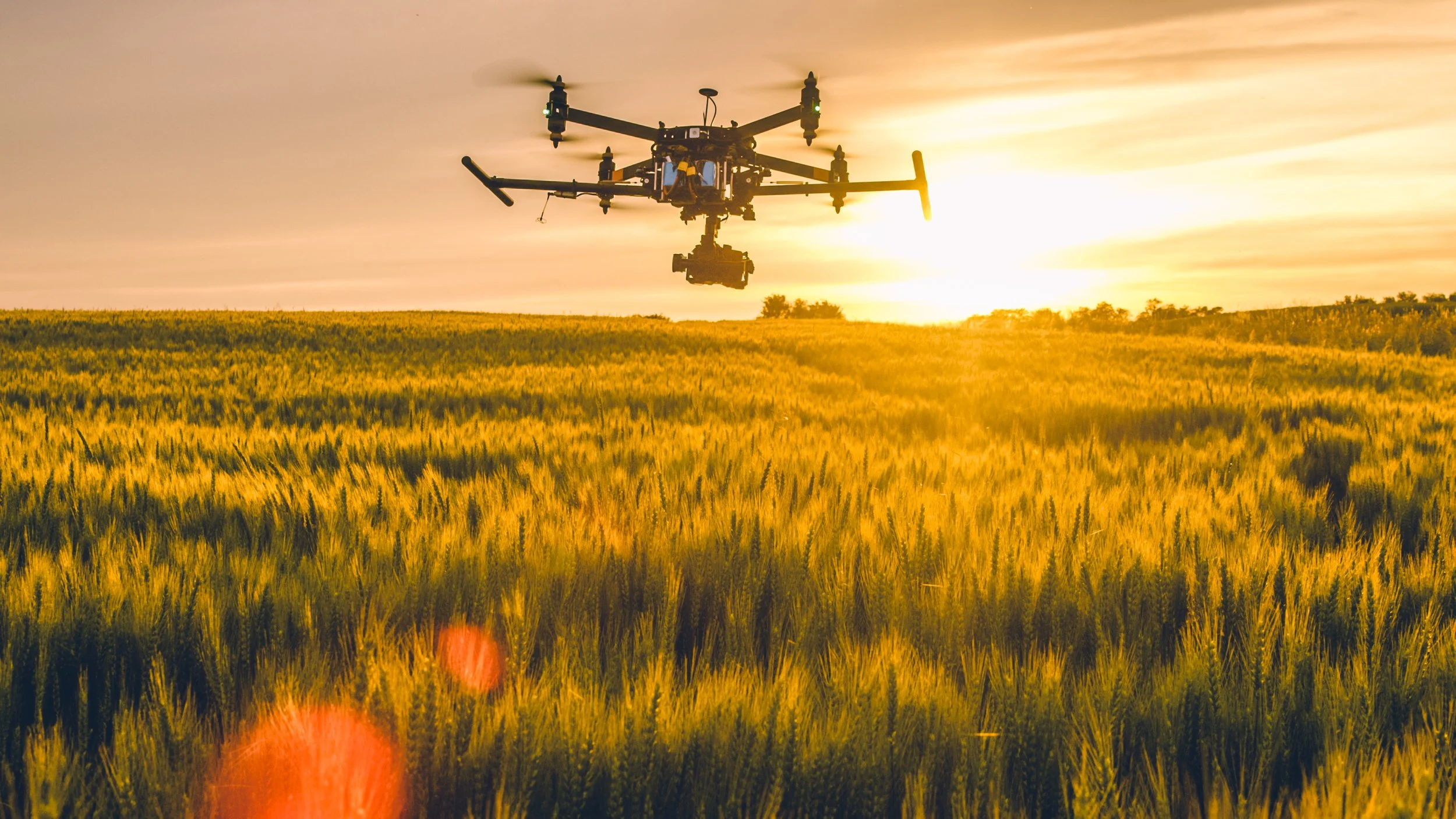
Terralynx is a Canadian aerial data analytics company helping organizations turn high-resolution drone, LiDAR, multispectral, and geospatial data into clear, actionable decisions.
We work with municipalities, conservation authorities, agribusinesses, engineering firms, researchers, and environmental organizations that need more than standard drone imagery. Our focus goes beyond capturing data from above. The real value comes from transforming aerial data into reliable maps, terrain models, vegetation insights, drainage analysis, and decision-ready deliverables that support planning, monitoring, reporting, and long-term strategy.
Founded in 2017 as Terranova UAV and later rebranded as Terralynx, our company was built around a simple idea: aerial data should be practical, accurate, and useful. Many organizations already have access to maps, satellite imagery, or drone photos. The challenge is understanding what that data means, how it connects to real conditions on the ground, and how it can be used to make better decisions. Terralynx bridges that gap.
We specialize in multiple drone (RPAS) sensing capabilities including LiDAR mapping, multispectral imagery, aerial surveys, terrain analysis, vegetation monitoring, environmental monitoring, drainage mapping, and GIS-ready deliverables. Our projects help clients better understand land, water, crops, infrastructure, and ecosystems with a level of detail that traditional methods often cannot provide efficiently.
For municipal and engineering clients, Terralynx provides high-resolution elevation models, drainage corridor mapping, erosion monitoring, obstruction identification, and terrain data that supports infrastructure planning and maintenance. For conservation authorities and environmental organizations, we support wetland monitoring, reforestation tracking, canopy analysis, habitat assessment, and change detection over time. For agribusinesses and researchers, we provide crop health analysis, field variability mapping, trial monitoring, and aerial data layers that help validate decisions at the field level.
Every project is designed around the client’s goals. Our consulting approach includes sensor selection, flight altitude, image overlap, ground control, data processing, and deliverable formats, all planned according to the site conditions, accuracy requirements, and final use of the data. This ensures the results are not only visually impressive, but technically useful.
Our team works with advanced tools such as multiple drone sensors, multispectral cameras, RGB imagery, RTK positioning, GIS software, and point cloud processing workflows. We produce deliverables such as technical reports and insights, digital terrain models, digital surface models, 3D point clouds, canopy height models, orthomosaics, vegetation indices, elevation profiles, and GIS datasets.
Technology alone is not enough. A drone can collect data. Software can generate maps. What our clients need is confidence that the data was collected correctly, processed properly, and interpreted in a way that supports the decision they are trying to make.
At Terralynx, our mission is to make high-resolution aerial intelligence accessible, practical, and valuable for organizations managing land, water, infrastructure, agriculture, and natural ecosystems.
Terralynx delivers aerial insights with clear results, helping organizations measure, manage, and make better decisions from above.
-

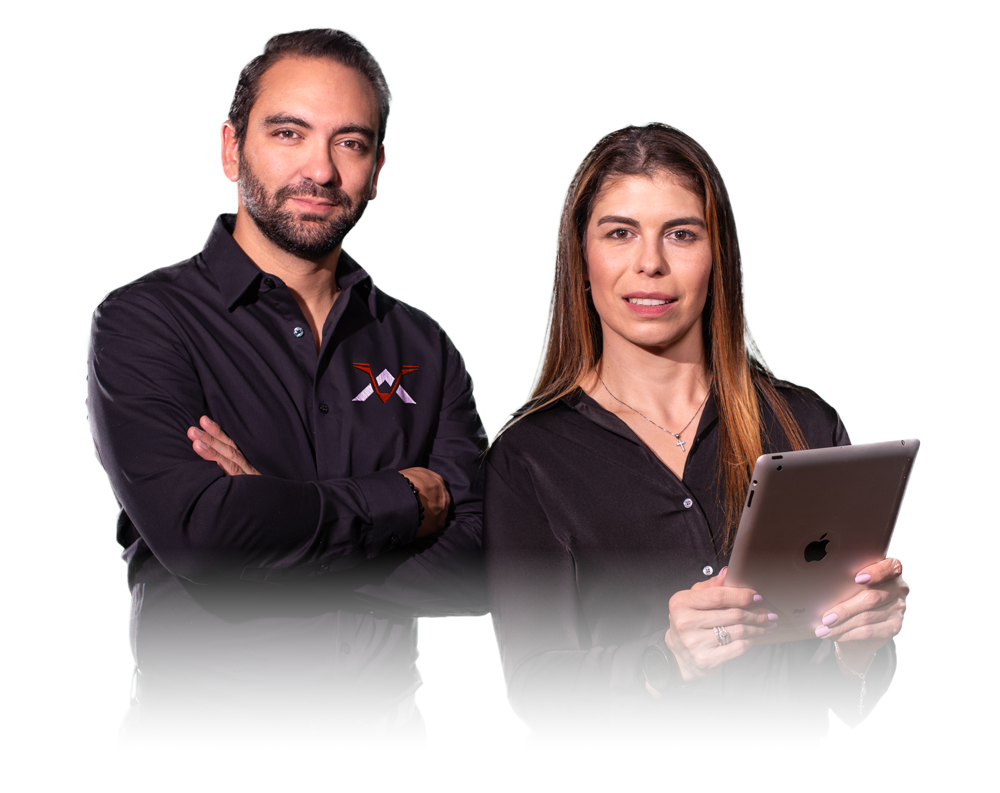
Andres Hurtado
CO-FOUNDER
Andres Hurtado brings over 15 years of experience in engineering, project management, and startup creation, with a strong focus on innovation and emerging technologies. He is the founder of Terralynx, where he combines technical expertise with entrepreneurial drive to deliver cutting-edge aerial imagery solutions. Andres holds an MBA from the Richard Ivey Business School, where he also earned a certificate in entrepreneurship, and has taught business and innovation at Baikal State University in Russia. Originally from Colombia, he studied Chemical Engineering at the University of Antioquia. He now lives in Innisfil, Ontario, with his wife Alexandra and son Miguel.
-

Alexandra Acosta
CO-FOUNDER
Alexandra Acosta is the co-founder of Terralynx, where she ensures the brand consistently reflects clarity, professionalism, and bold creativity. An industrial designer by training, Alexandra brings a unique blend of artistic vision and business acumen to the team. She has built a diverse career in sales and marketing across industries including insurance, interior design, and home staging, where she is also a certified professional. Born in Canada and raised in Colombia, Alexandra blends multicultural insight with a sharp eye for detail, helping shape the visual identity and customer experience that set Terralynx apart.
-

Moe Agostino
ADVISOR
Moe Agostino is a strategic advisor to Terralynx, bringing over 40 years of expertise in commodity markets, risk management, and ag marketing. As Chief Commodity Strategist at Farms.com Risk Management, he’s a recognized authority in grains, livestock, energy, and crop inputs, blending global insight with boots-on-the-ground experience. Moe is also the publisher of Farms.com Market School and a frequent contributor to industry media. Through his leadership on major crop tours and his involvement in a 2,100-acre farm, Moe provides Terralynx with critical market perspective to align our data solutions with the real needs of producers and agribusinesses.
-

Heather Galt
Heather Galt is the Chief Customer Officer and CMO at P&P Optica in Waterloo, Ontario, and a growth coach at Communitech and WeTech. Heather has an extensive background in product and service go-to-market, B2B and channel marketing, and internationalization in small, rapidly scaling, and large companies. Heather also has many years of experience in the classroom, having taught marketing courses to both undergraduate and masters-level students at Conestoga College and Wilfrid Laurier University.
Heather is an active volunteer who has served on multiple community boards. She has her MBA in Marketing and Strategy from York University.
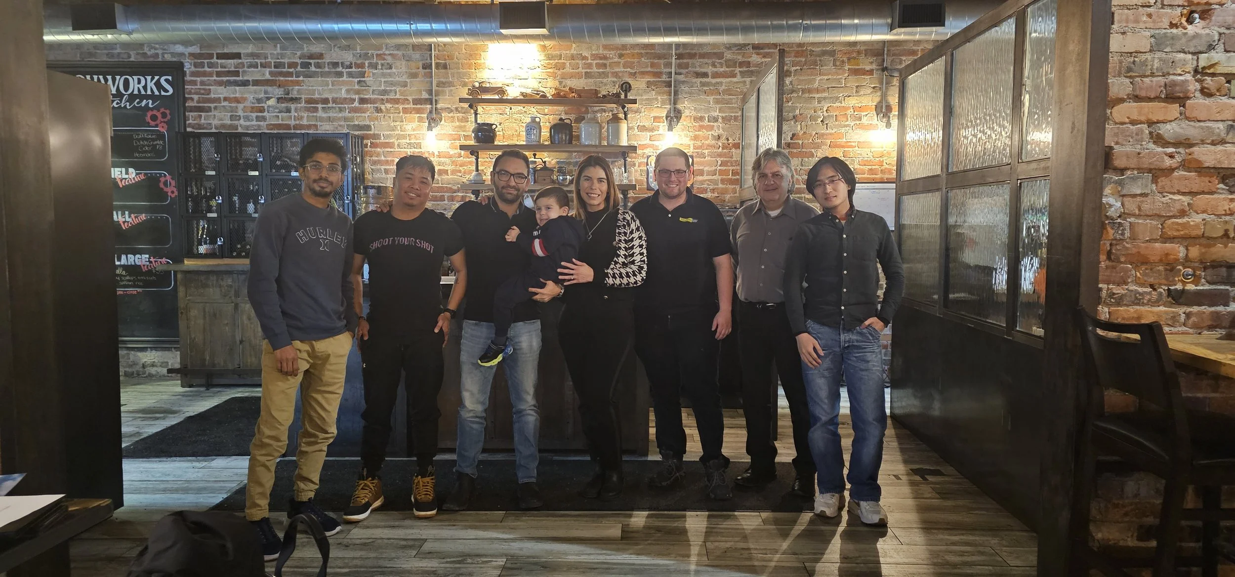
At Terralynx, our team is a vibrant blend of expertise and diverse perspectives. From drone technology, ag experts and GIS to marketing, business, and biotechnology, we bring together a wealth of knowledge and innovation. Our multicultural and multi-talented team is dedicated to pushing the boundaries of aerial imagery and data solutions, ensuring that we deliver exceptional results for our clients in every project.
Start Your Next Project with the Right Data
Founded in 2017 to help farmers improve crop management, Terralynx has since become a trusted partner for across industries. Based in Ontario, Canada, our teamʼs expertise spans many backgrounds, including agriculture, aerospace, and technology (hardware and software).